St Lukes Environmental Protection SocietyProtecting Meola Creek's environs since 2005
St Lukes Environmental Protection Society (STEPS) was incorporated in 2005. Its purpose is to protect and enhance the environment and amenities in the St Lukes area. Read more ...
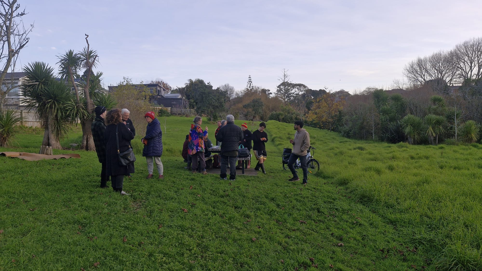
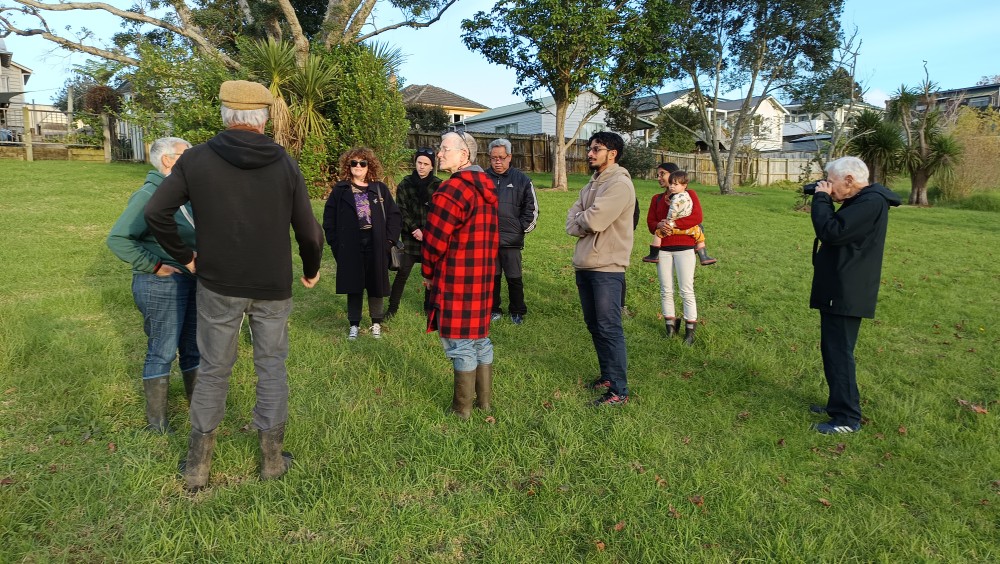
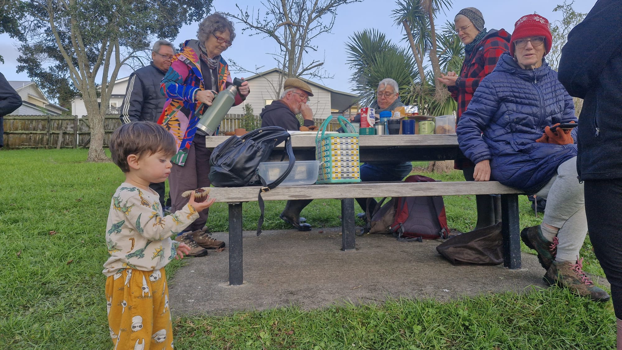
On Friday 20 June STEPS held our first gathering on Wātea reserve, in Haverstock Rd. At our first ever Matariki hui, we were delighted to welcome our members, volunteers, neighbours and whanau to this steep wetland in Sandringham.
Susan opened with a karakia, then Vanitha and David led a walk around the awa, up the steps, across the bridge to our spring planting site.
Special thanks to Susan for the Matariki karakia, Vanitha and David for leading the walk, and all who came. Mānawatia a Matariki!
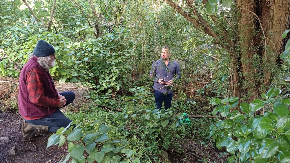
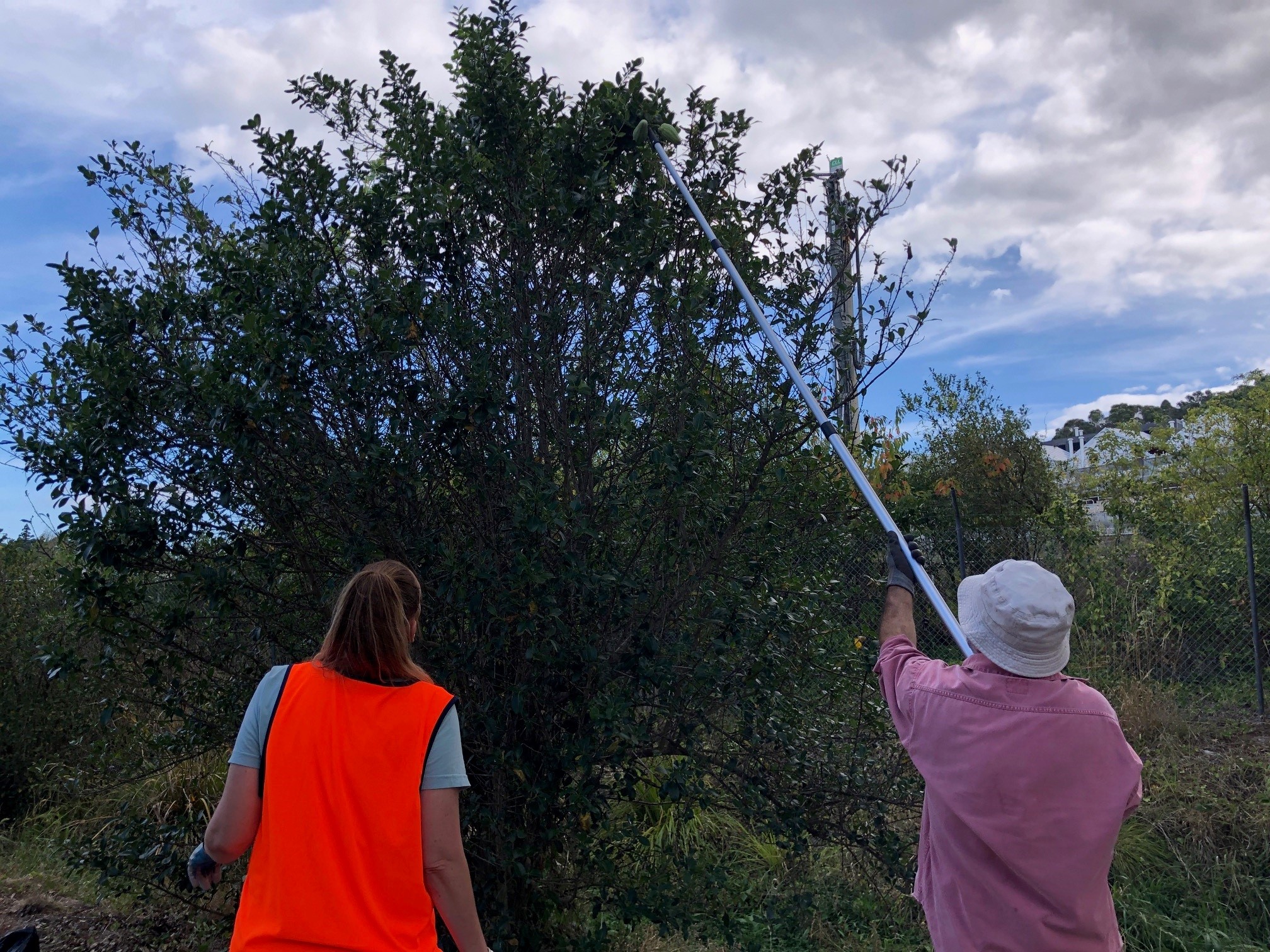
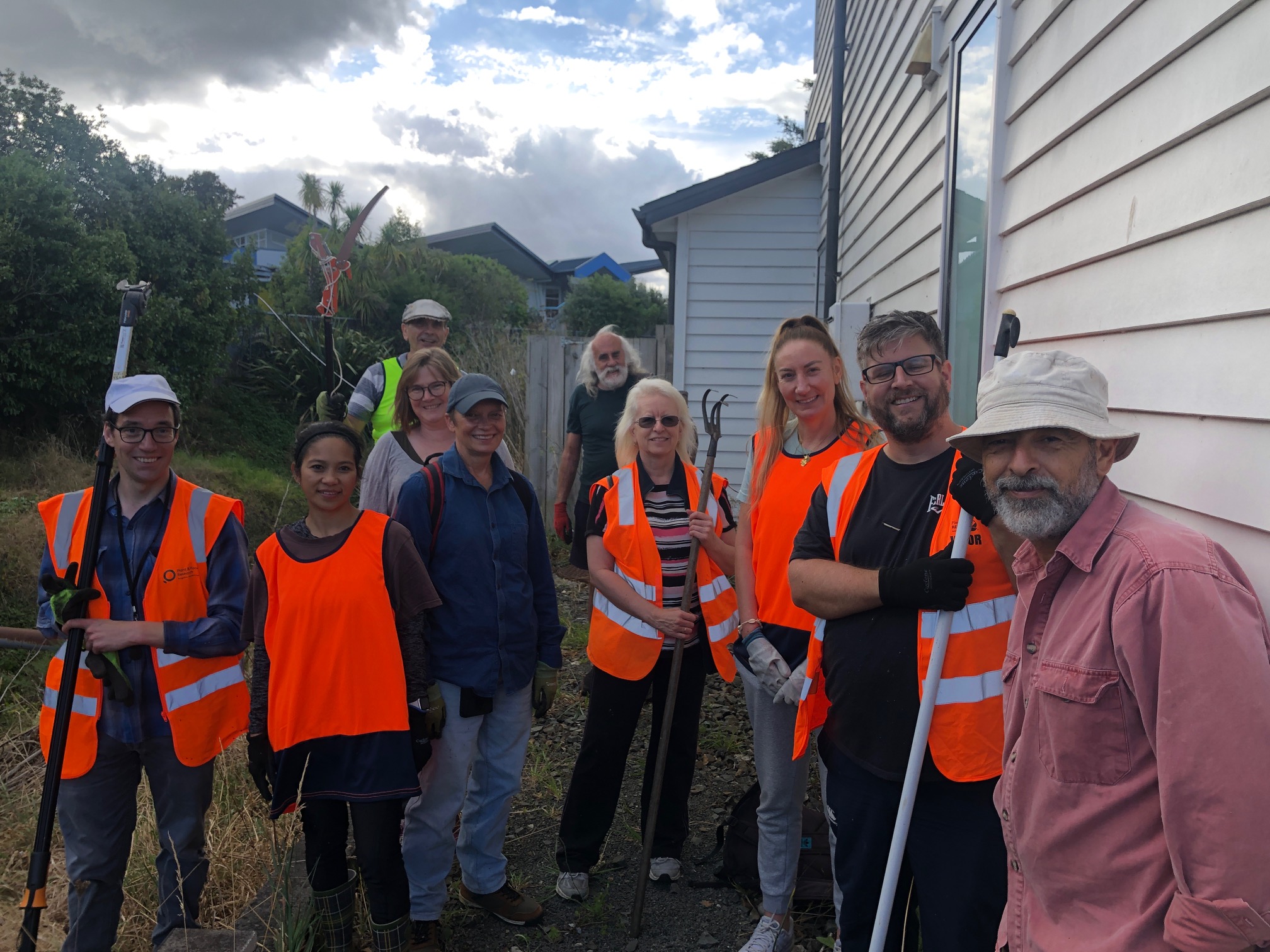
Monday 16 June 2025 was a great day for beating the weeds on Roy Clements Treeway.
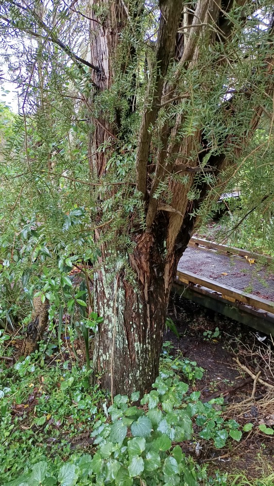
Sel Arbuckle had spotted a new pest intruder – he thought Schefflera – hiding in the fork of a big totara tree. Today Dan Blanchon the Auckland Museum Conservator collected a sample and confirmed it as: Heptapleurum arboricola (formerly Schefflera), from China. While it needs to be removed, the museum was pleased to have a more recent record than their existing two (from Ellerslie Racecourse (1998) and Auckland Airport (2000)). Well done Sel for tracking the pest plant’s journey from garden to forest. Thanks Dan for following up and confirming species.
Dan Blanchon is holding a specimen of the new pest Schefflera, while talking with Sel of STEPS.
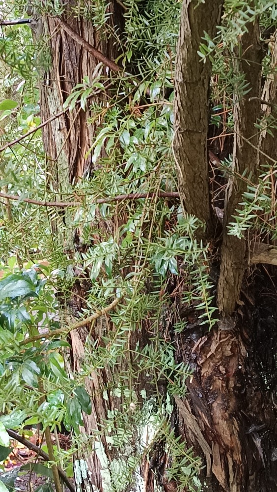
This Heptapleurum (Schefflera) has a long grey stalk to the ground.
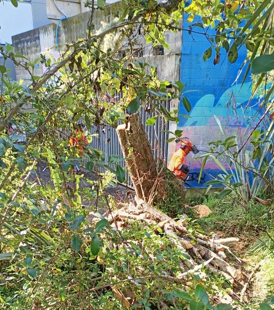
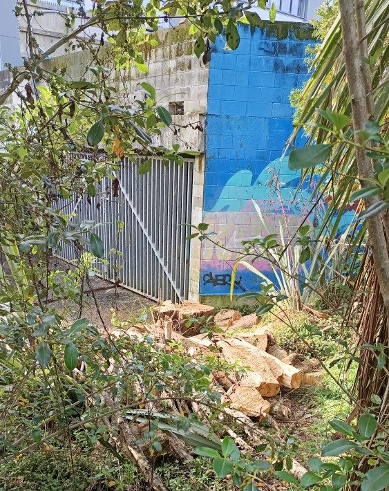
Nearby, we were overjoyed to discover that after more than 15 years of requests – Auckland Council had removed a large Acer Negundo (Box Elder), at the Gribblehirst overflow tunnel. Thank you Parks Team. This pest plant can be found on the DOC 2024 weed list. We still have one other male tree opposite a MAGS’ female tree, and causing dozens of new seedlings to grow each year.
Pest Acer negundo trunk part way through its removal.
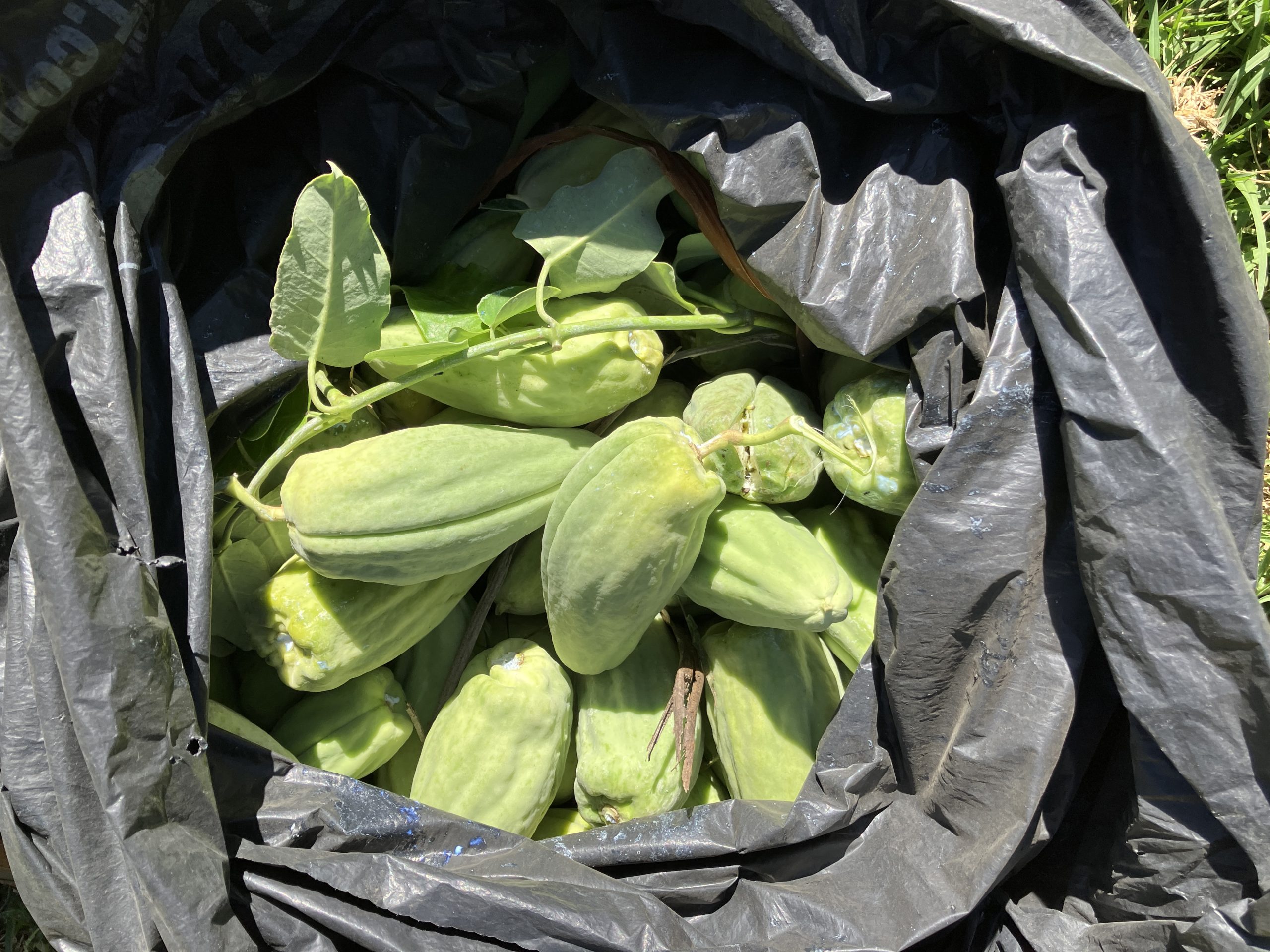
The New Zealand Institute of Plant and Food in Mt Albert hosted their annual STEPS moth plant hunt in March and we really think we’re making progress. We moved outside the fence this year to Te Kouka Lane and found a bonanza of pods and plants. That’s not great, but boy, is it satisfying. We definitely got 99.9% of the pods. Plant and Food then rewarded the hunters with a lavish feed. Please have us back next year…